


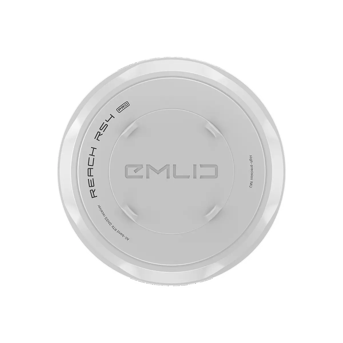
Product Details
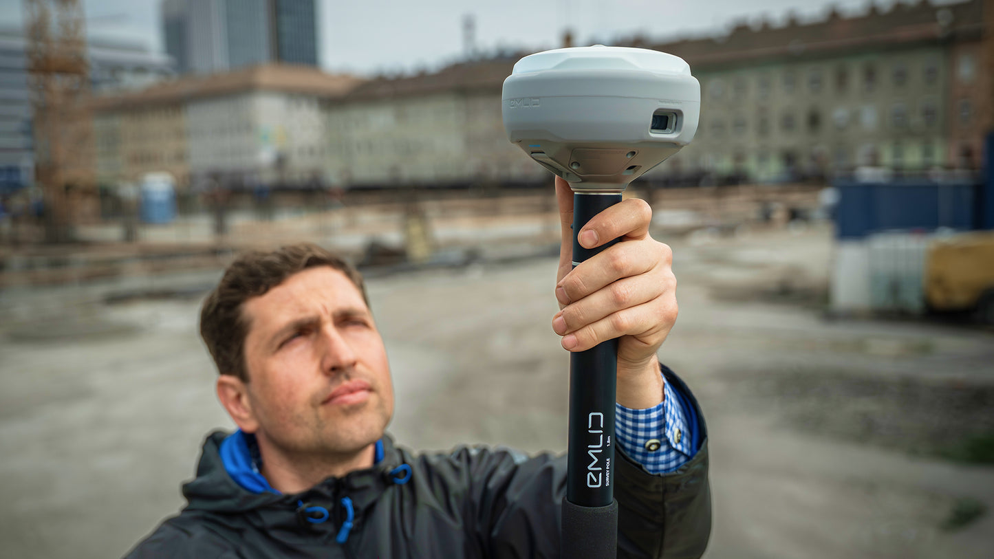
Emlid Reach RS4 Pro: Surveying with AR Magic
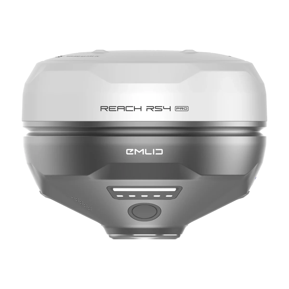
Let's be honest, half of surveying is figuring out how to measure something you can't physically touch. Whether it's across a busy road, behind a fence, or up a dodgy-looking wall, it's a pain. The Emlid Reach RS4 Pro is a multi-band RTK GNSS receiver that decided to solve this problem not with more maths, but with cameras and augmented reality. Because pointing your phone at something is infinitely cooler than explaining to a client why a measurement is "estimated".
Why You Want It
Imagine this: you're staking out a site, but instead of staring at a tiny map and some coordinates, you're looking through your phone and seeing the blueprint overlaid on the real world. That's the AR stakeout. It turns a complex job into something that feels suspiciously like a video game. It's faster, more intuitive, and saves so much time your boss might actually notice. This is one of those rare bits of kit where the extra spend on your company card is genuinely, provably, worth it.

Key Features in Exhausting Detail
AR Stakeout & Image Measurement
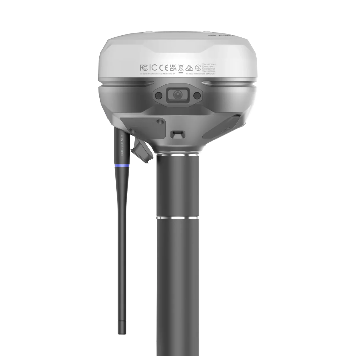
This is the party trick that pays the bills. The dual cameras turn surveying from a game of numbers into a visual task. With AR Stakeout, your designs are projected directly onto your camera feed, showing you exactly where to place a stake with a satisfying "bullseye." For those impossible-to-reach points? Just use image-based measurement. Point the camera at a building corner, a manhole across traffic, or a point over a ditch, and capture its coordinates from a safe distance. It’s the closest thing to a magic wand you'll find on a construction site.
Next-Gen Tilt Compensation
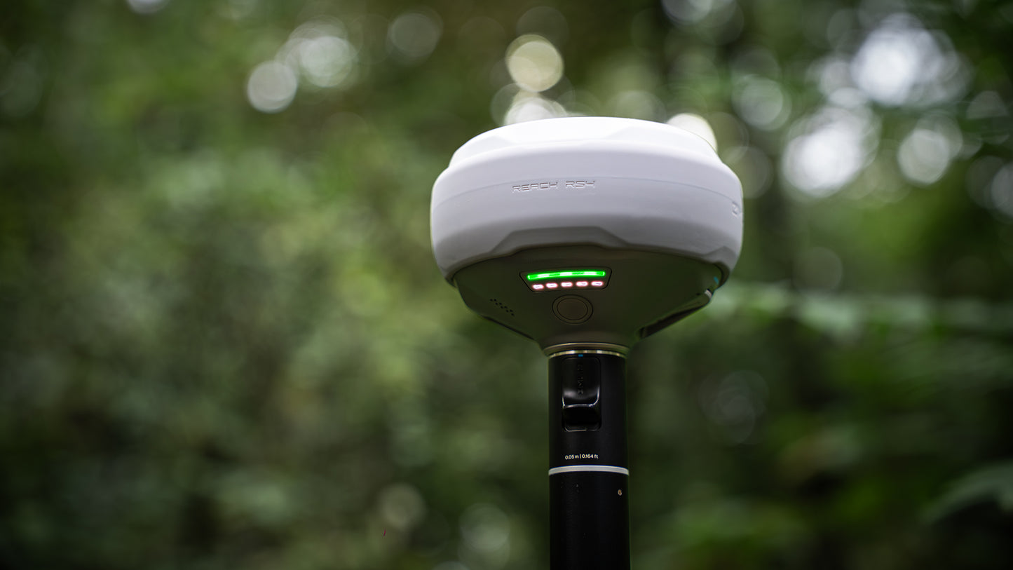
We've all been there, obsessively staring at a bubble, trying to keep a 2-metre pole perfectly plumb. The RS4 Pro thinks that's a waste of time. Its next-gen IMU initialises in a few seconds with a simple waggle and stays calibrated. It's immune to magnetic interference, so you can measure near cars and metal structures without it throwing a fit. With up to 18 mm of precision at a 30° tilt, you can capture accurate points at the base of walls or in tight corners without sacrificing an ounce of accuracy. Spend less time levelling and more time working.
All-Band GNSS Support
A receiver is useless if it can't get a signal. The RS4 Pro is practically a satellite conspiracy theorist, tracking L1/L2/L5/L6 signals from every constellation humans have flung into orbit: GPS, GLONASS, Galileo, BeiDou, and the rest. With 672 channels, it locks onto 40+ satellites simultaneously, giving you a rock-solid, centimetre-accurate fix in under 5 seconds. It holds that fix in places other receivers give up, like dense tree cover or urban canyons. If there's a signal to be found, this thing will find it.
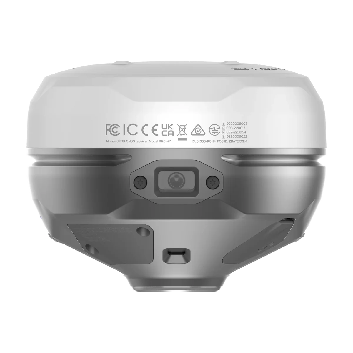
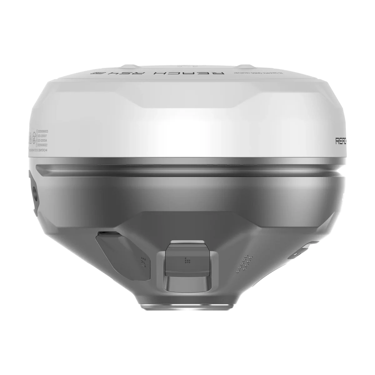
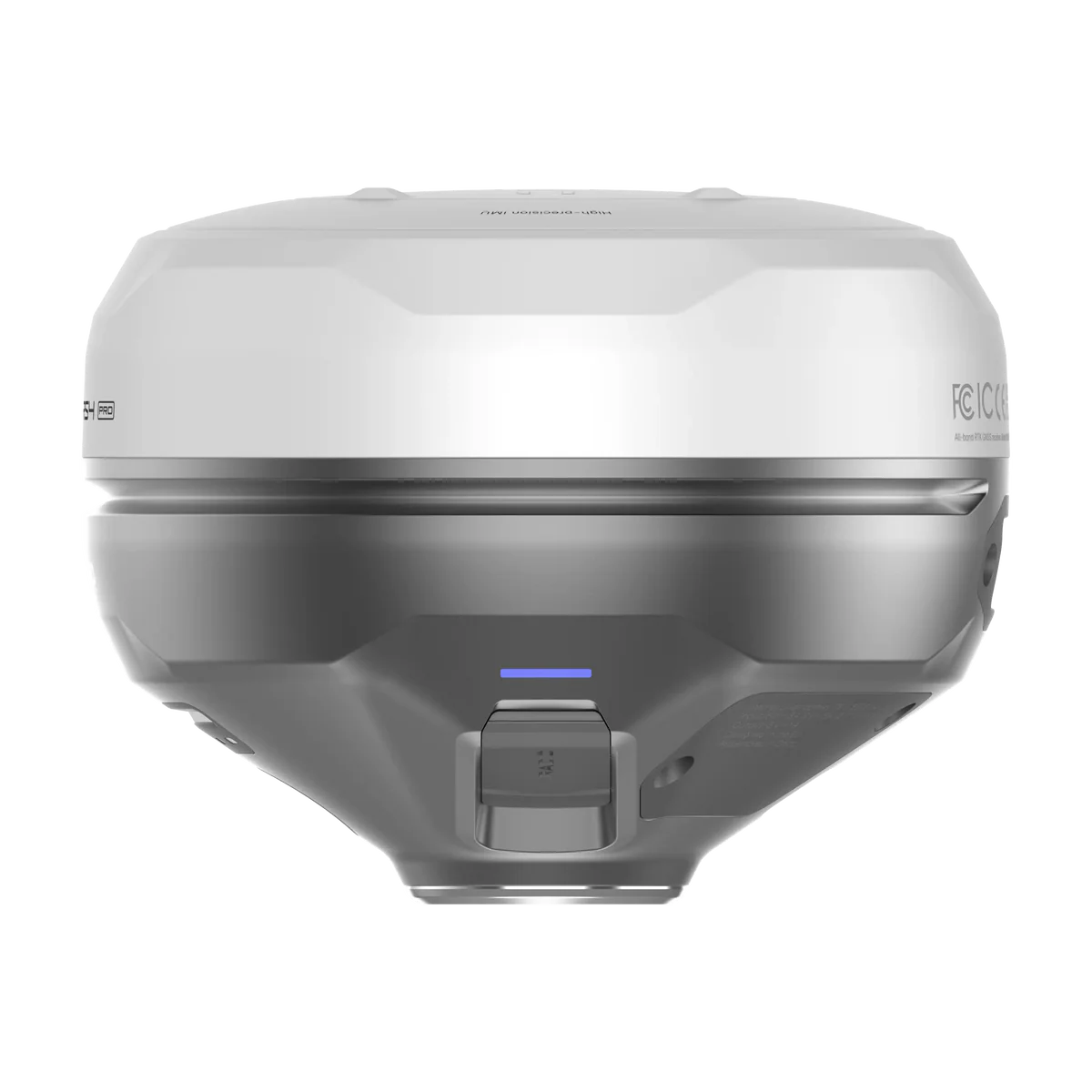
Engineered for the Field (and British Weather)
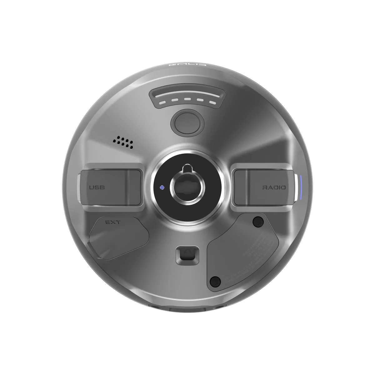
This isn't a delicate lab instrument. The body is crafted from magnesium alloy—the same stuff used in aerospace—for exceptional strength without the weight. The whole unit is sealed to IP68 standards, meaning it's completely dust-tight and can survive being submerged in water. It's designed to work flawlessly from a frosty -40°C to a scorching +65°C. Add a 16-hour battery life and a versatile radio system (UHF and LoRa), and you have a tool that's not just built to work, but built to survive the work.
Specifications
- RTK Precision: H: 7 mm + 1 ppm, V: 14 mm + 1 ppm (accurate enough to settle any argument)
- Weight: 920 g (less than a bag of sugar, but infinitely more useful)
- Channels: 672 (talks to more satellites than a Bond villain)
- Battery Life: 16 hours as an RTK rover (outlasts your phone, your patience, and probably the sun)
- Operating Temperature: -40 to +65 °C (works in conditions you definitely won't)
- Ingress Protection: IP68 (survives water, dust, and your Monday morning butterfingers)
- Internal Storage: 16 GB (enough to log every blade of grass on a small country estate)
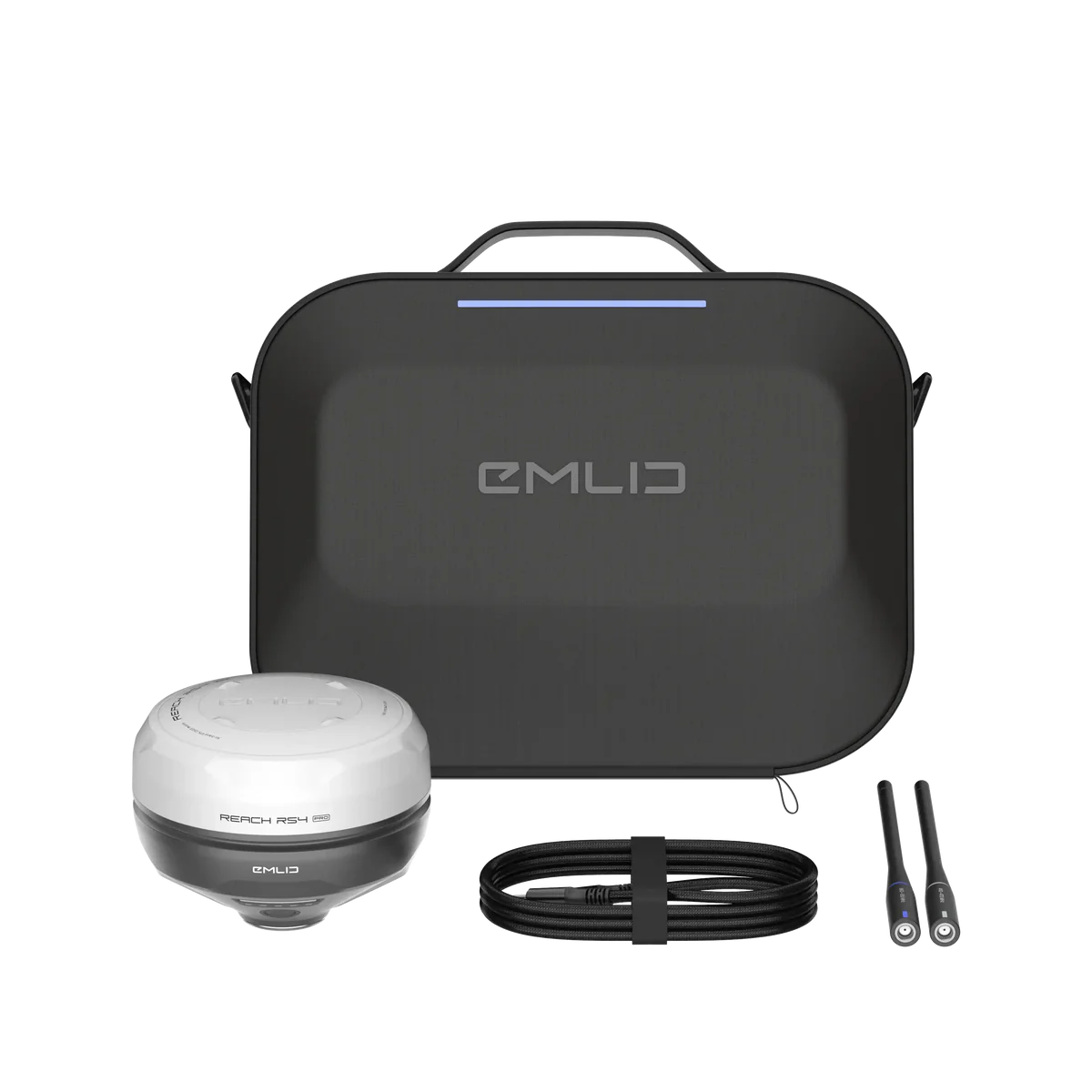
What’s in the Box*
- 1x Emlid Reach RS4 Pro Receiver
- 1x Dual-Band Radio Antenna (UHF & LoRa)
- 1x USB Type-C Cable
- 1x Quick Release Mount
- 1x Carry Case with Strap
Disclaimer
*Box contents are subject to the whims of global supply chains, but the centimetre-accurate wizard stick is guaranteed.
Reach RS4 Pro – Full Specifications
Mechanical
- Dimensions: 128.6 × 128.6 × 99.3 mm
- Weight: 920 g
- Operating temperature: –40 to +65 °C
- Ingress protection: IP68
Electrical
- Autonomy: 16 hrs as RTK rover with tilt
- Battery: Li-Ion 5000 mAh, 7.2 V (36 Wh)
- Charging: USB Type-C (PD) – 5V/3A, 9V/3A, 12V/3A, 15V/3A
Positioning
- Static: H: 4 mm + 0.5 ppm | V: 8 mm + 1 ppm
- PPK: H: 5 mm + 0.5 ppm | V: 10 mm + 1 ppm
- RTK: H: 7 mm + 1 ppm | V: 14 mm + 1 ppm
- Tilt compensation: RTK + 2 mm + 0.3 mm/°
- Convergence time: ~5 s (typical)
Connectivity
- LoRa radio (up to 1W): 868/915 MHz, 0.1 W, up to 8 km
- UHF radio (up to 2W): 410–470 MHz, TRIMTALK 450S**, GMSK
- LTE modem: Global bands (FDD-LTE, TD-LTE, UMTS, GSM)
- SIM card: Nano-SIM
- Wi-Fi: 802.11 a/b/g/n
- Bluetooth: 5.1 (BR/EDR + LE)
- Ports: RS-232, USB Type-C
Data
- Corrections: NTRIP, RTCM3
- Position output: NMEA, LLH/XYZ
- Data logging: RINEX, NMEA, LLH/XYZ, UBX
- Internal storage: 16 GB
Imaging
- Image sensors: 1/2.6 in CMOS, global shutter, Full HD
- Field of view: Front: H 64.6° / V 42.8° | Bottom: H 63° / V 42°
- Video frame rate: 25 fps
GNSS
- Signals tracked: GPS (L1C/A, L2C, L5), GLONASS (L1OF, L2OF), Galileo (E1-B/C, E5a, E6), BeiDou (B1I, B1C, B2a, B3I), QZSS (L1C/A, L1C/B11, L2C, L5), NavIC (L1-SPS, L5-SPS)
- Number of channels: 672
- Update rate: up to 10 Hz
*Use the correct antenna (LoRa or UHF) for your setup.
**TRIMTALK is a trademark of Trimble Inc.
Still Here?
Wow, you read the whole thing. You're either a serious professional looking for the best professional land surveying equipment in the UK, or you're just avoiding doing actual work. Either way, we respect the dedication. You've seen the specs, you get the vision. Stop procrastinating and add it to your basket. Your future self, the one not dangling from a fence with a tape measure, will thank you.